Life Above The Tunnel: Living In Cave Rock Estates
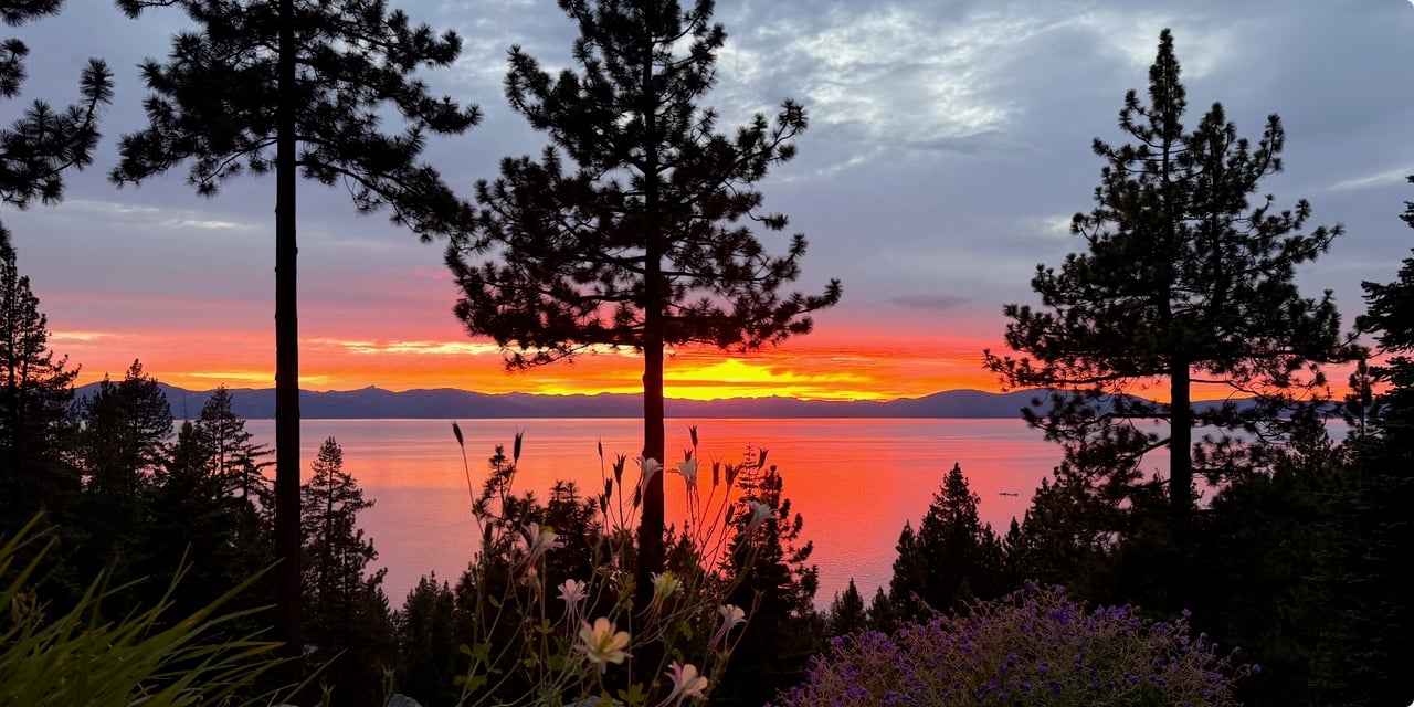
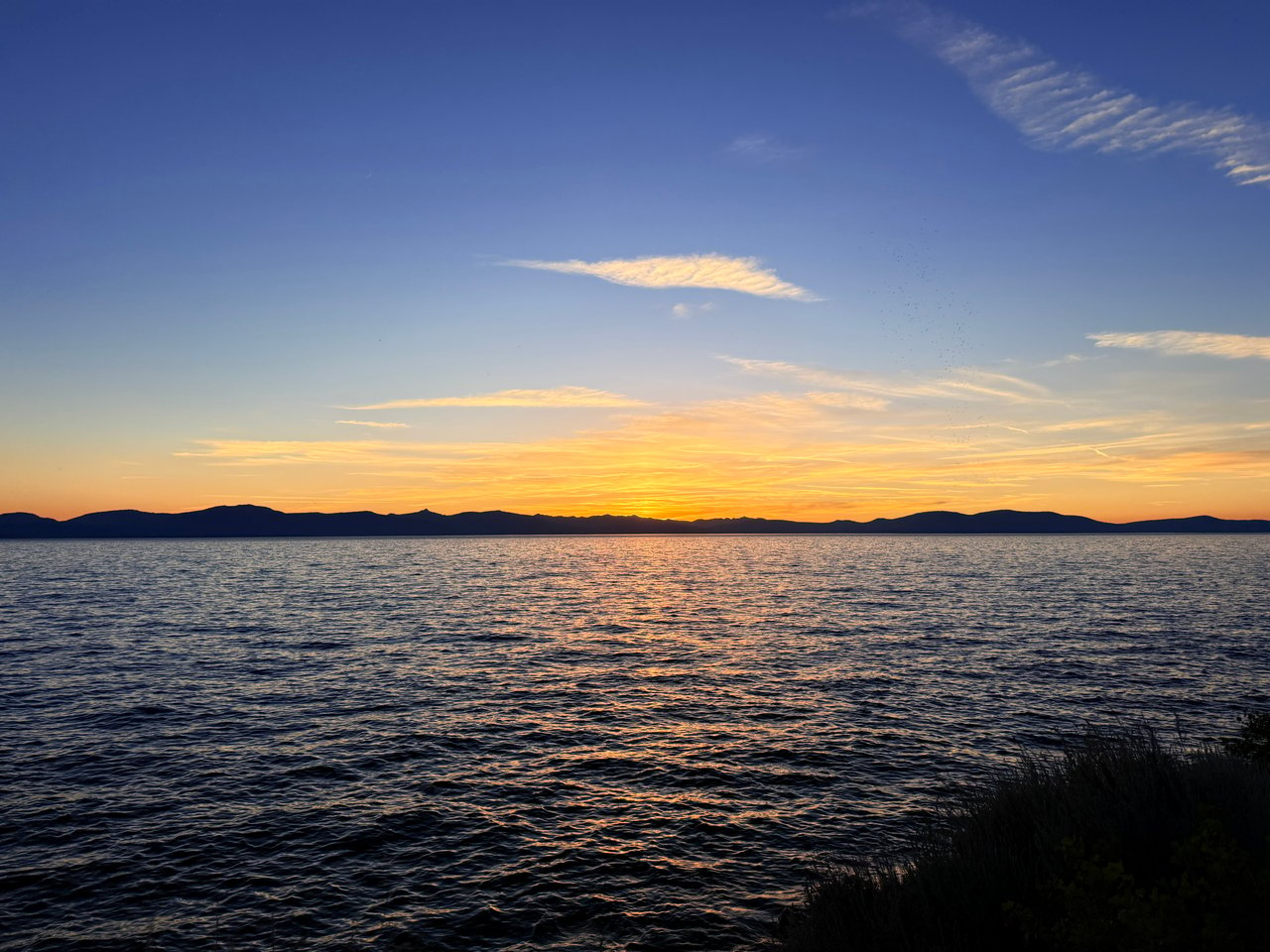
What does life look like when your morning coffee comes with sweeping blue water and a front‑row seat to Lake Tahoe’s east shore? If you are curious about Cave Rock Estates, you are likely weighing views, access, and everyday ease. In this guide, you will get a clear picture of the neighborhood above the famous tunnels, from the state park beach and boat ramp to trails, utilities, and buyer tips. Let’s dive in.
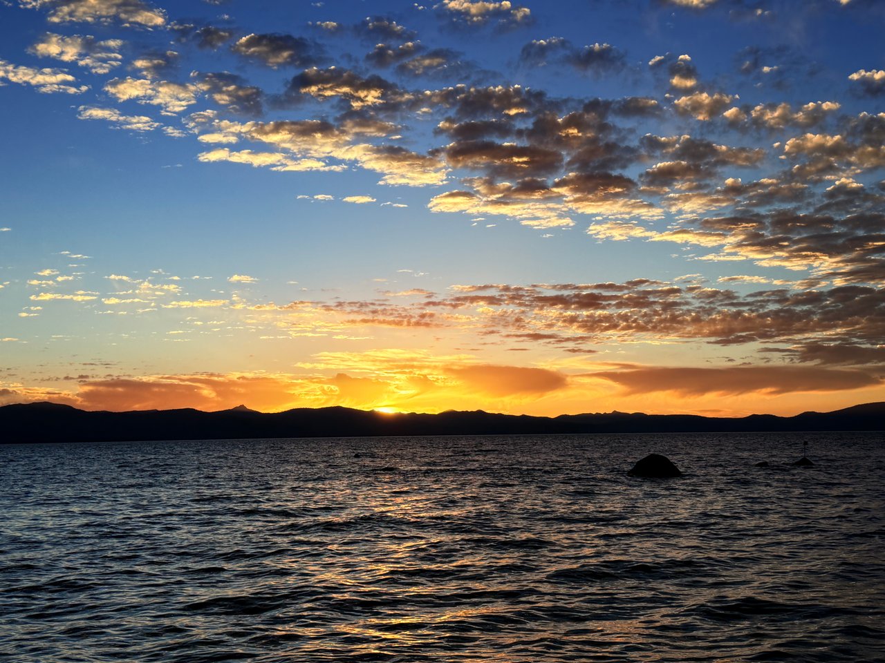
Cave Rock Estates rises above the iconic Cave Rock formation and the US 50 corridor on Tahoe’s east shore in Douglas County’s 89413 ZIP. The setting blends cliffside drama with hillside privacy, and many homes orient to long lake views. You sit between Glenbrook and Zephyr Cove with quick driving access to Stateline and Heavenly. To place it precisely, the neighborhood overlooks the Cave Rock Tunnel corridor.
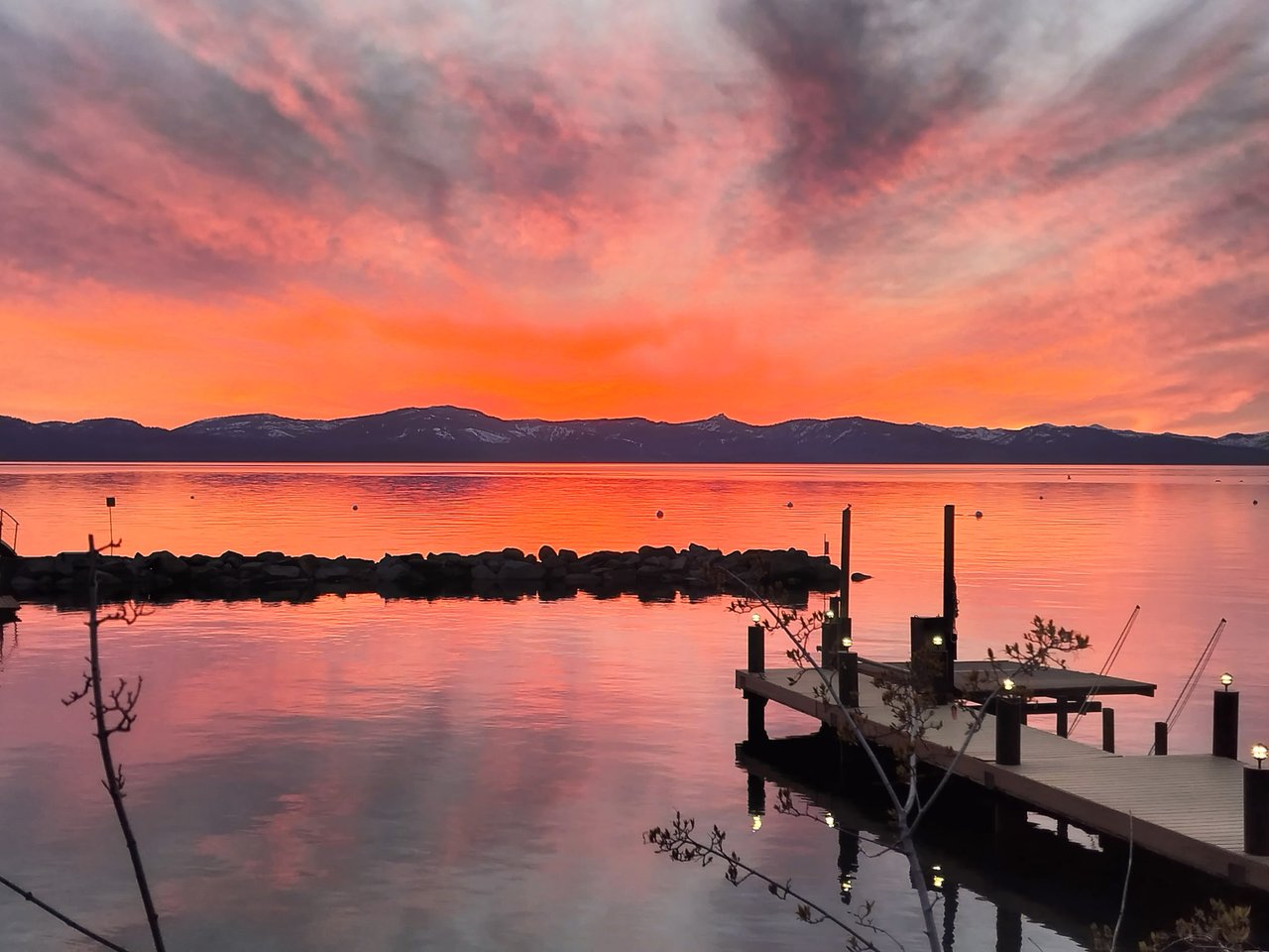
At lake level below the neighborhood, Cave Rock is a public day‑use area managed by Nevada State Parks as a unit of Lake Tahoe Nevada State Park. You will find picnic areas, a small sandy beach, and a double‑lane motorboat ramp with trailer parking. Boat launches and parking often fill early on busy summer days, so plan ahead. For current hours, seasonal ramp operations, and fees, check Nevada State Parks’ official page.
A short, maintained path leads to the well‑known Cave Rock Overlook. The standard route is about 0.8 miles round trip with roughly 100 feet of elevation gain. The trailhead sits in the residential area near the tunnels and can be busy on summer weekends. For a concise route description and practical notes, see the Cave Rock Trail overview.
If you are looking for longer days, uphill connections via Tunnel Creek Road tie into the Tahoe Rim Trail network. Hikers and mountain bikers commonly use Tunnel Creek as a staging climb to the TRT. For regional parking and logistics, the Tahoe Rim Trail Association’s parking resources are a helpful starting point.
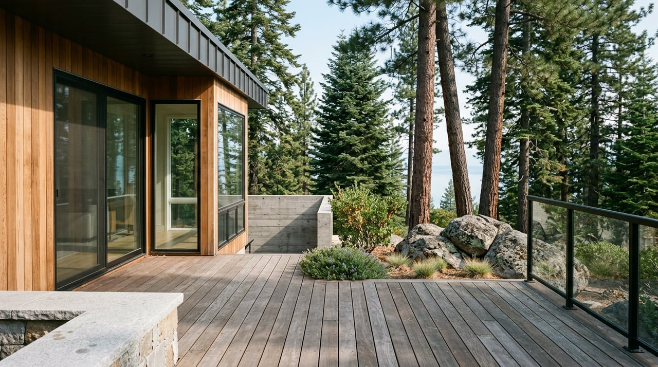
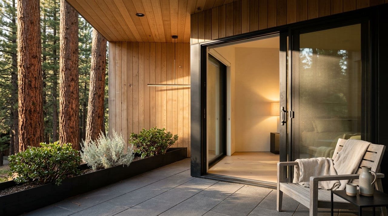
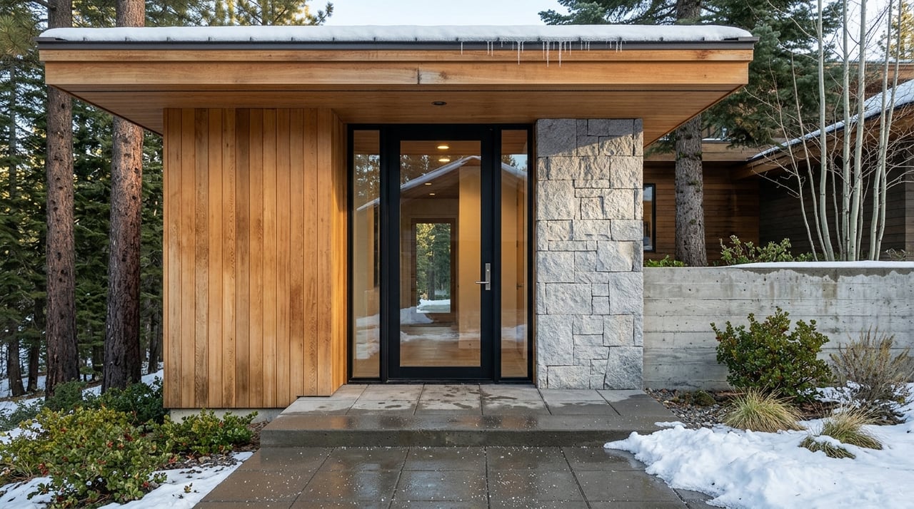
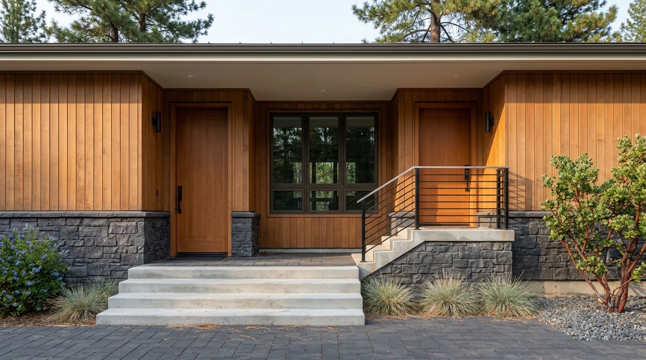
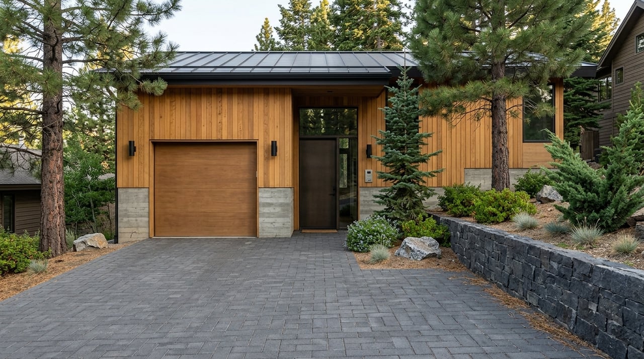
Cave Rock Estates includes single‑family lake‑view homes and a smaller cluster of attached townhomes known locally as Cave Rock Villas. Original subdivision work in the early 1960s created roughly 110 lots, with many parcels described as one‑third acre up to over an acre. Today, public materials indicate roughly 80 privately owned properties within the local district. Lot sizes and topography help deliver the long‑view character many buyers seek. For parcel‑specific details, verify dimensions with county records and title documents.
Cave Rock Estates is served by the Cave Rock Estates General Improvement District (CREGID). In Nevada, GIDs often manage public‑style infrastructure within private developments. CREGID outlines responsibilities for neighborhood roads, curbs, gutters, storm drains, the local water system, and street lighting. For service questions or policies, start with the CREGID website.
Wastewater and stormwater management are core issues around the lake. Regional water‑quality plans explain why filtration, drainage, and export systems matter and how local agencies coordinate. In the Tahoe basin, wastewater facilities are managed through a mix of local GIDs and export pipelines. For regional context and planning references, consult the Lake Tahoe Water Quality Management Plan, and confirm parcel‑level utility connections with county records during due diligence.
After past rockfall events, NDOT completed a safety and tunnel‑extension project at Cave Rock in 2016. The roughly 60‑foot extension and rockfall shelter improved corridor protection and added lighting and signage, which supports safer travel on US 50 near the neighborhood. You can read a summary of the work in local news coverage. Douglas County also advances water and fire‑protection infrastructure through public works bids and RFPs. For current and recent projects, see the county’s public works and RFP portal.
Keep in mind that proximity to US 50 brings both convenience and seasonal traffic. You are close to a major scenic corridor, which means fast lake access and a steady flow of visitors during peak seasons.
Cave Rock is a Traditional Cultural Property significant to the Washoe Tribe and is listed on the National Register of Historic Places. The Forest Service has put protections in place, including restrictions on climbing, to honor and preserve the site. When visiting the overlook or shoreline, be considerate, follow posted guidance, and avoid prohibited activities. For background on the cultural history and related protections, see this contextual overview.
The Glenbrook and Cave Rock area participates in basin‑wide fuels reduction and prescribed‑fire projects. Treatments include shaded fuel breaks, pile burns, and community forestry work aimed at improving wildfire preparedness. As a homeowner, plan for defensible space and routine maintenance. For a look at regional project types and activity, review the basin’s Environmental Improvement Program project listings.
If you value long lake views, a hillside setting, and fast access to a public boat ramp and beach, Cave Rock Estates delivers. You can reach a signature overlook with a short walk or drive, then connect to bigger trail days when time allows. The neighborhood blends privacy with proximity to US 50, which suits owners who want both seclusion and convenience. The Stateline and Heavenly corridor is a short drive, often about 10 to 20 minutes depending on traffic and season.
Life above the tunnel means panoramic views, quick lake and trail access, and a practical framework for roads and water managed by a local district. You get the natural drama of the east shore with the convenience of US 50, plus a neighborhood scale that still feels tucked away. With clear due diligence on parcels, utilities, and seasonal patterns, Cave Rock Estates can offer a steady, high‑amenity base for your Tahoe time.
Ready to explore homes above the tunnel and map the right fit for your goals? Connect with Craig Zager for a private, data‑driven consultation and curated showings on Tahoe’s East Shore.

4th of July in Lake Tahoe
Activities, Events, Live Music
Get In Touch